I had been looking up at Garnet Peak for years while guiding in Wells Gray Park, always wanting to put an expedition together. Finally, in September 2025, everything lined up and we were able to make the trip happen. We chose September both for the convenience of timing with my guiding season winding down, and for the lack of bugs, which can be heavy enough in Wells Gray midsummer to make backpacking a bleak prospect. The downside of the September window is that summer snowpack is at its lowest, which means that traditional approach of climbing via the snowpatch in the middle of the face wasn't an option for us. An early window for the trip might make rockfall hazard and the long hours of talus walking easier, but would bring its own challenges and hazards. We didn't bring ice axes or crampons due to lack of snow this time of year, but I expect they would be necessary earlier in the season.
While not a technically difficult climb, the remoteness of this peak, rugged terrain, and lack of trail past Huntley col come together to make for a challenging expedition. Parties attempting this peak should be comfortable with multiday canoe tripping, crosscountry routefinding and moving across steep talus and rock. While we didn't bring a rope for our trip, others might find it nice to have for the crux pitches depending on risk tolerance and route condition.
While Clearwater does have a helibase, in summer they're often fully occupied fighting fires now. Don't expect same day rescue if something happens.
Reaching the summit of Garnet Peak, your reward for your long days of approach will be a towering vista of the complete wilderness in the heart of Wells Gray.
Day-by-day
| Day | Route | Distance | Elev. gain | Time | Travel |
|---|---|---|---|---|---|
| 1 | Trailhead → Bar View camp | 8.5 km | - | 1h 55m | Canoe |
| 2 | Bar View camp → Four and a Half Mile camp | 20.1 km | - | 8h 30m | Canoe & portage |
| 3 | Huntley col ascent & traverse to camp | 6.7 km | 1,447 m | 9h 30m | On foot |
| 4 | Garnet Peak | 9.5 km | 872 m | 10h 40m | On foot |
| 5 | Tryfan & Batoche peaks, descend to lake camp | 9.9 km | 500 m | 6h 15m | On foot |
| 6 | Four and a Half Mile camp → Bar View | 14.9 km | - | 6h 35m | Canoe |
| 7 | Bar View → trailhead | 8.6 km | - | 1h 55m | Canoe |
On foot (days 3–5): 26.1 km, 2,819 m gain. Canoe (days 1–2, 6–7): 52.1 km.
Approach
2 days of canoeing up the length of Clearwater lake (~23km) with a short portage (~500m) between Clearwater and Azure lake, then another short paddle (~5km) along Azure lake to reach the Huntley col trailhead at Four and a Half Mile campground.
The trailhead is also accessible by powerboat, (but where's the fun in that?). If this option works better for you, Clearwater lake tours operates a water taxi service and canoe rental.
From Four and a Half Mile camp, climb Huntley col (4.5k, 1300m), a steep climbers route going straight up the mountain. BC Parks has cleared the trail through the forest of deadfall as of Summer 2025 but you should still expect bushy sections and some route finding. Once you reach the meadowed avalanche paths around 1650m. the trail disappears, climb up and traverse right towards Huntley col. Expect no water sources on the trial up and start early to avoid slogging up the steep south slope in the heat of the day.
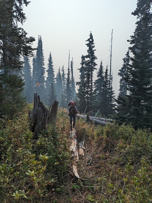
Some parties have camped up at Huntley col, I'm told that there tends to be a snowpatch here earlier in the year that can be used as a water source, but nothing was present when we passed through.
From Huntley Col, any last signs of a trail completely disappear. We dropped off the north side of the pass and sidehilled across rough terrain until we were able to find water and a flat beautiful campsite on benches North of Batoche peak.
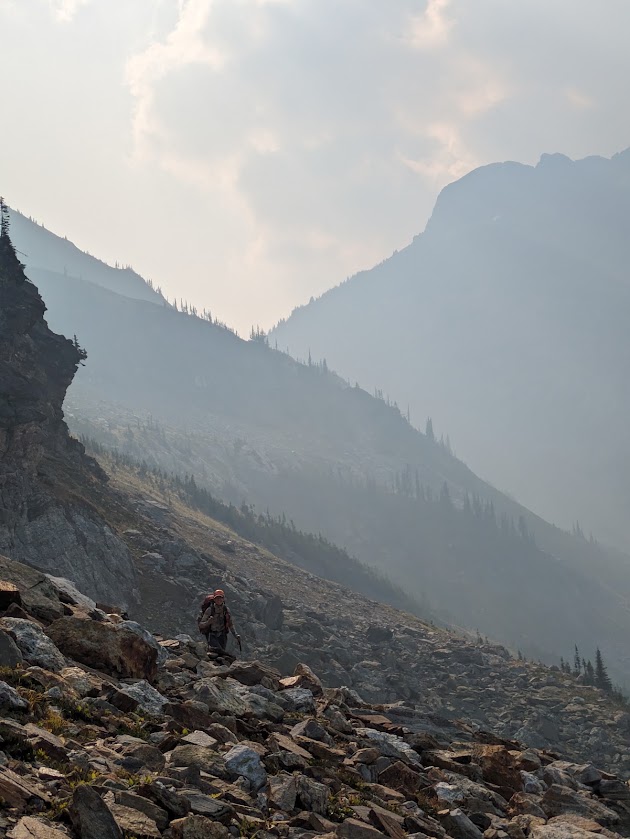
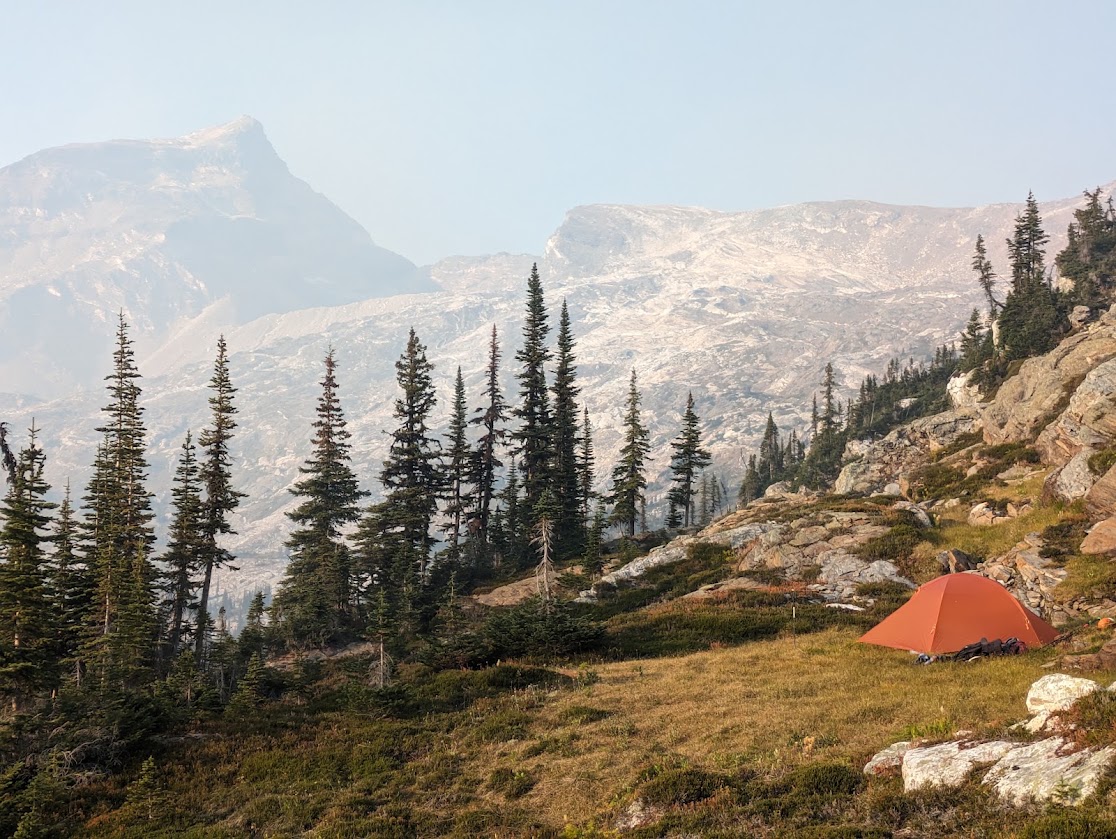
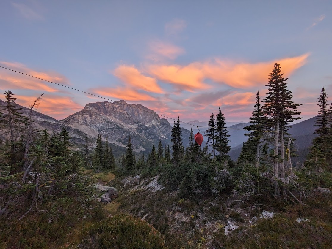
This is true grizzly country and some of the other guides around here have been turned around by a stubborn grizz blocking the route. We ran into none on our trip, but be prepared. With minimal options for bear hangs among the scrappy Englemann spruce and subalpine fir. We carried a beefy rope and improvised a pretty good suspension between a couple trees, expect that you'll need to get creative for your hang, or just ruck a bear can up.
Summit Day
Waking up early for our attempt on Garnet, we were glad to see that the thick smoke that had plagued us for our climb up Huntley had settled into the valleys forming a beautiful smoke inversion. While we could barely see the valley bottom from our camp, the summits in the morning sun were perfectly clear. This weather held all day and made for some stunning views from the summit.
From our camp north of Batoche, we traveled northeast, climbing through open subalpine benches. Meadow and slab gave way to more and more rock as we approached and joined a large moraine, which we followed along its ridge to connect with the base of Garnet Peak.
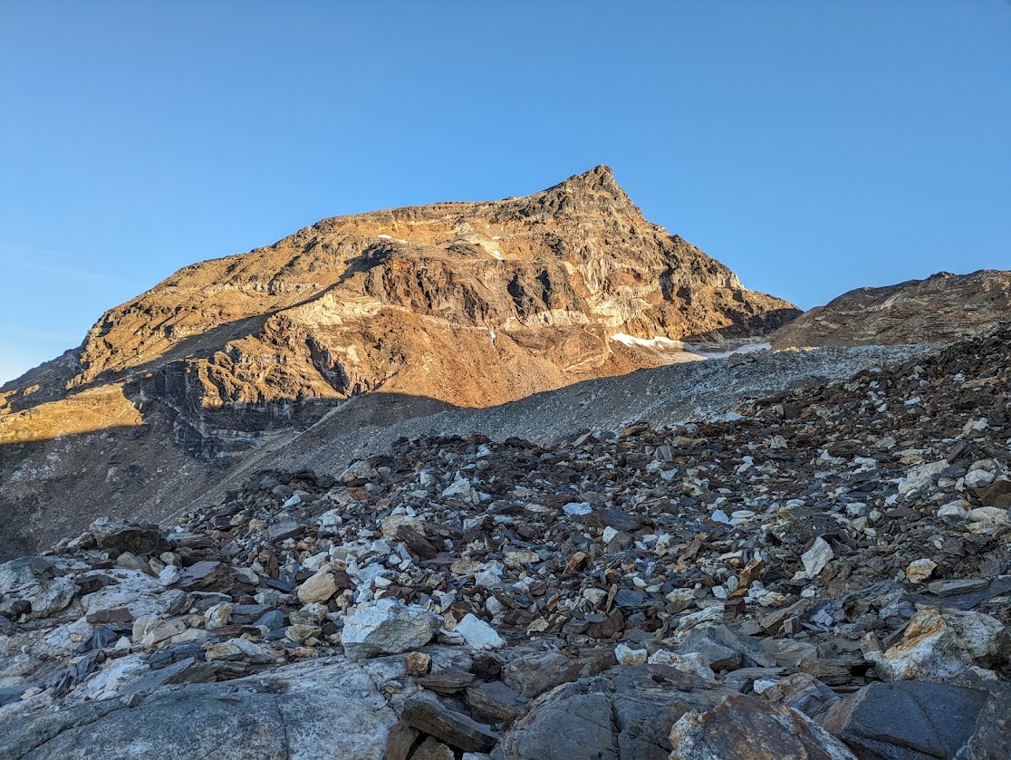
From the base, we climbed through loose, steep terrain, staying left to get to the first crux. We donned helmets on the moraine and were glad we did. Coming up these steep slopes, rockfall was a constant hazard. We made a climbing traverse up and left across steep rock slabs with loose rock lying on top until we were able to get over the southwest ridge and come onto easier talus beyond.
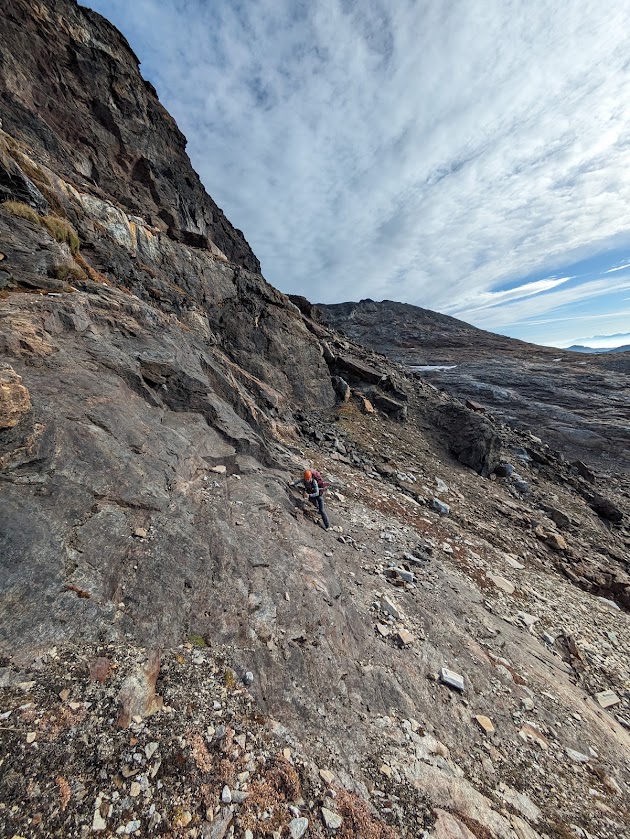
Once on the ridge, we continued north across a large bowl feature through talus to connect to a gully on the southwest side of the peak.
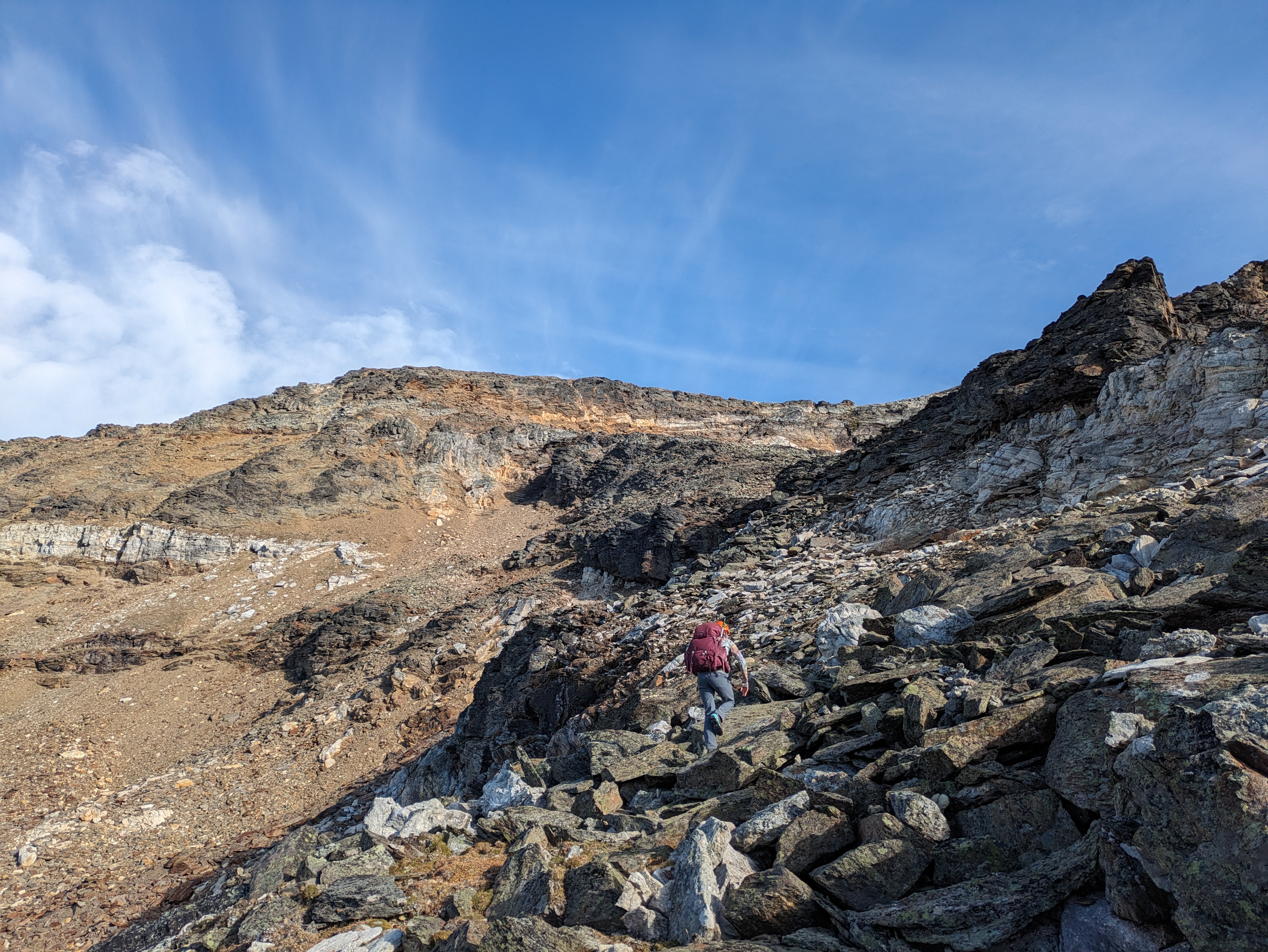
I've read reports of other parties going earlier in the season finding a snow patch that lets them connect through a rock band in the middle of the face, but by the time we were there it had melted out.
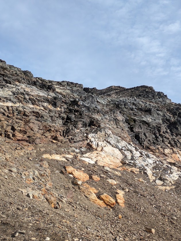
Our option, while it had the least vertical exposure, was very loose, with lots of rockfall in the gully. A bit more snow in there would have made us feel a lot better about it.
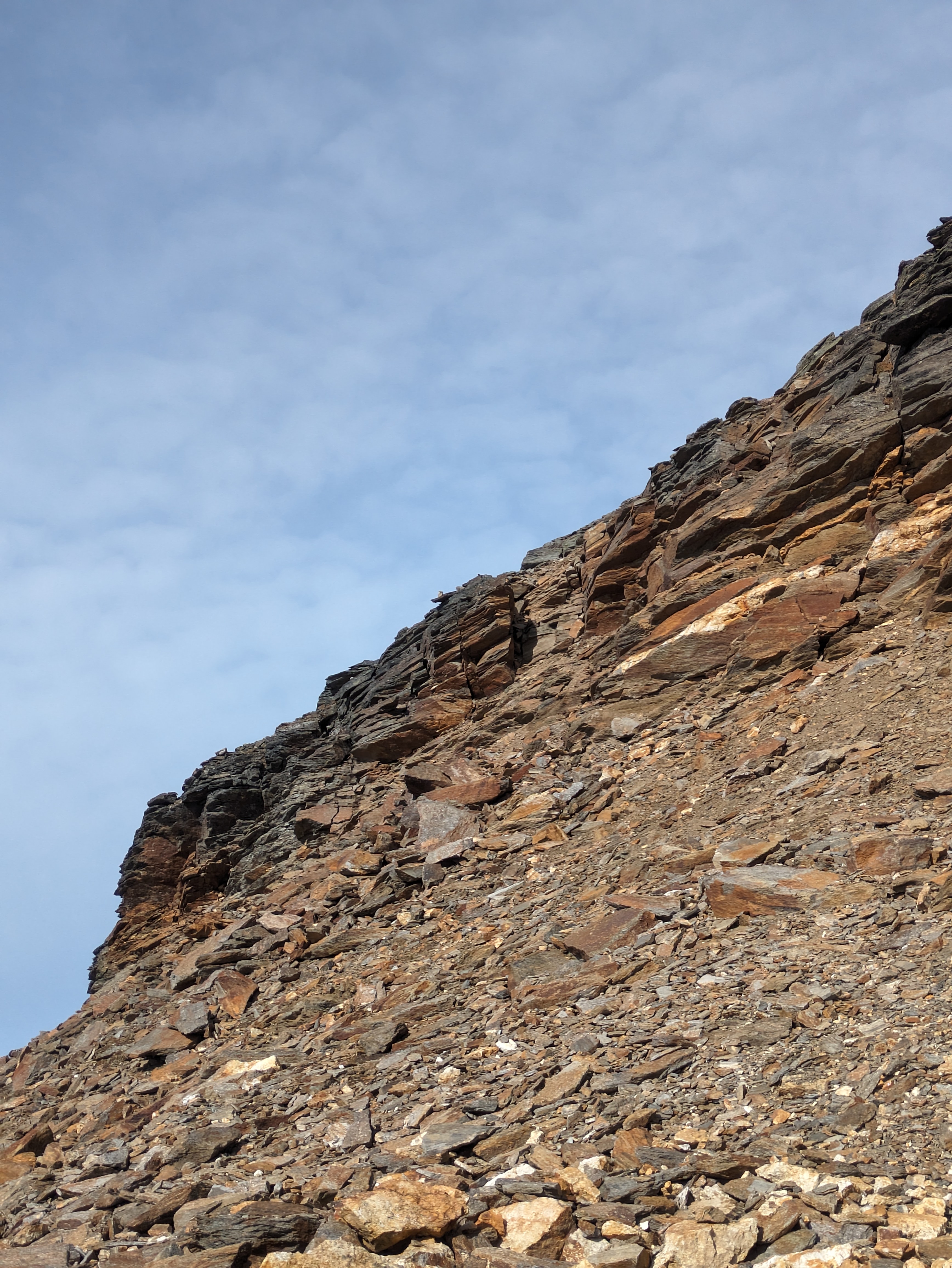
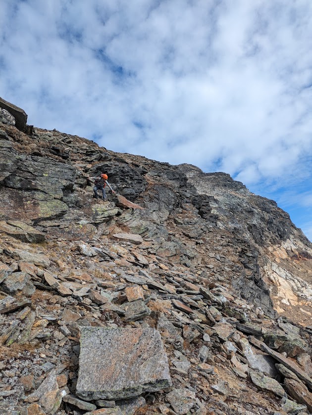
Not technically difficult to get through, but we found it impossible not to dislodge loose rocks while scrambling up the steep rocky gully, so make sure you're not traveling over each other here. Can't guarantee that our route was best, make your own assessment when you get there.
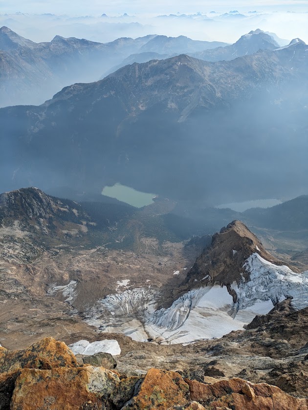
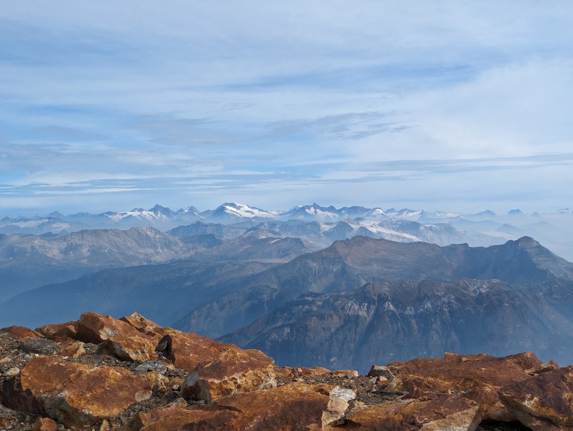
Past the gully, open rock fields led to the summit, with stunning vertical relief over huge avalanche paths and glaciers to the northeast, and a view into the heart of the Cariboos: huge glaciated peaks and valley after valley of wilderness, looking north and east from the top.
Descent
We returned via the same route. Getting down the second crux was somewhat airy class 4 downclimbing, since we wanted to avoid exposing ourselves to the loose gully. A rope for rappelling would have been nice, but then we would have had to carry the rope and gear the whole way, and we'd have had to find a suitable anchor in the loose rock.
Past that, it was simply a matter of retracing our steps and slogging it out down the endless talus back to camp.
We were glad we hadn't set camp at Huntley col, as I've heard of other parties doing. Garnet and back in a day from there would be long and tiring. We got back to camp, napped, and watched the sunset past Mt Huntley while planning the next day.
Tryfan and Batoche Peaks
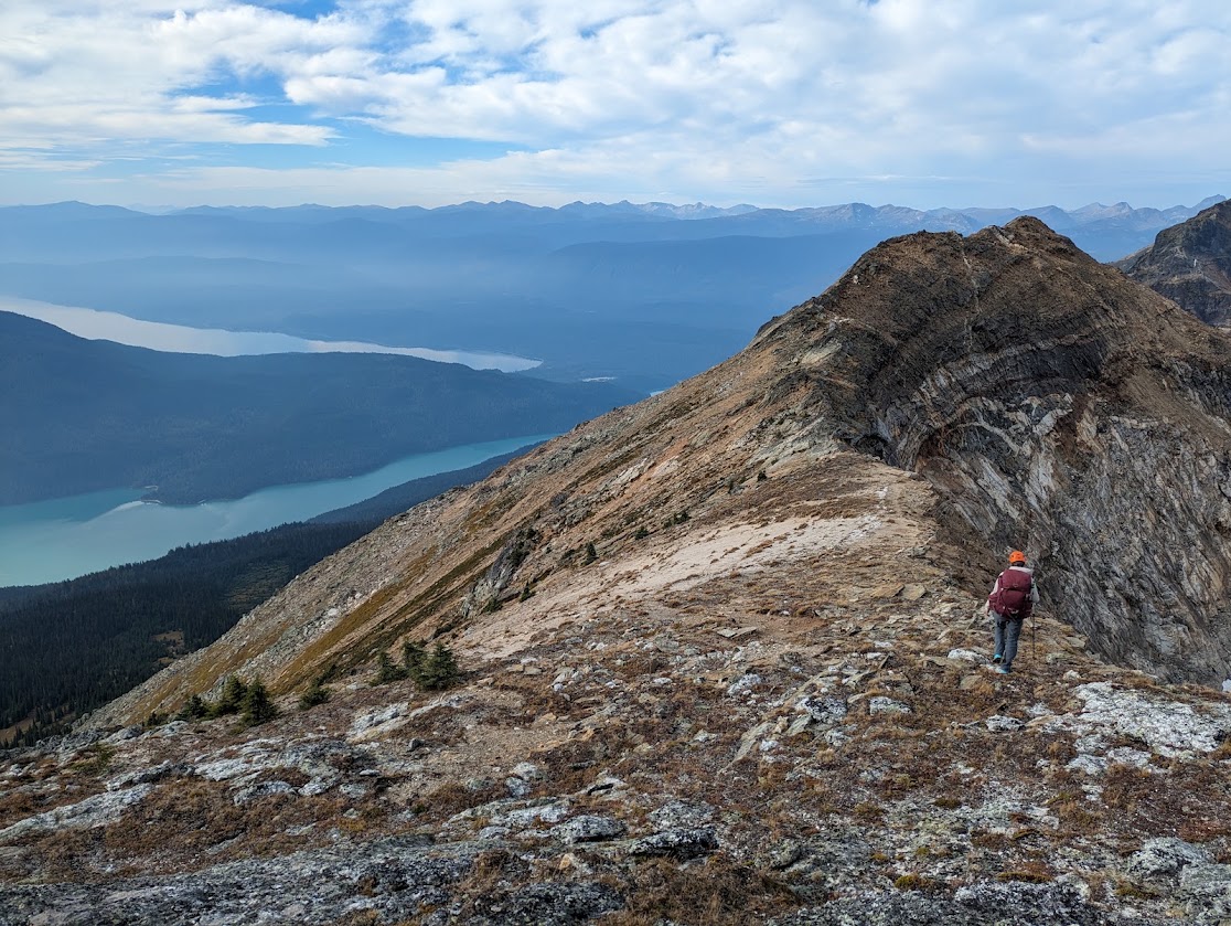
Vanessa spotted a nice route to access the ridge of Tryfan from the north, and return to Huntley col over the ridgeline of Tryfan and Batoche. As far as I remember, this was mostly class 2 to 3, with maybe a class 4 step.
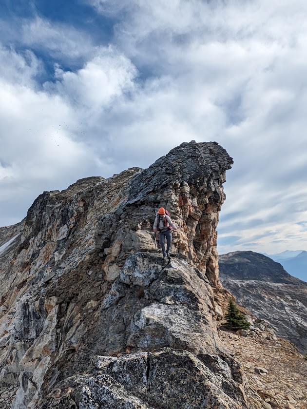
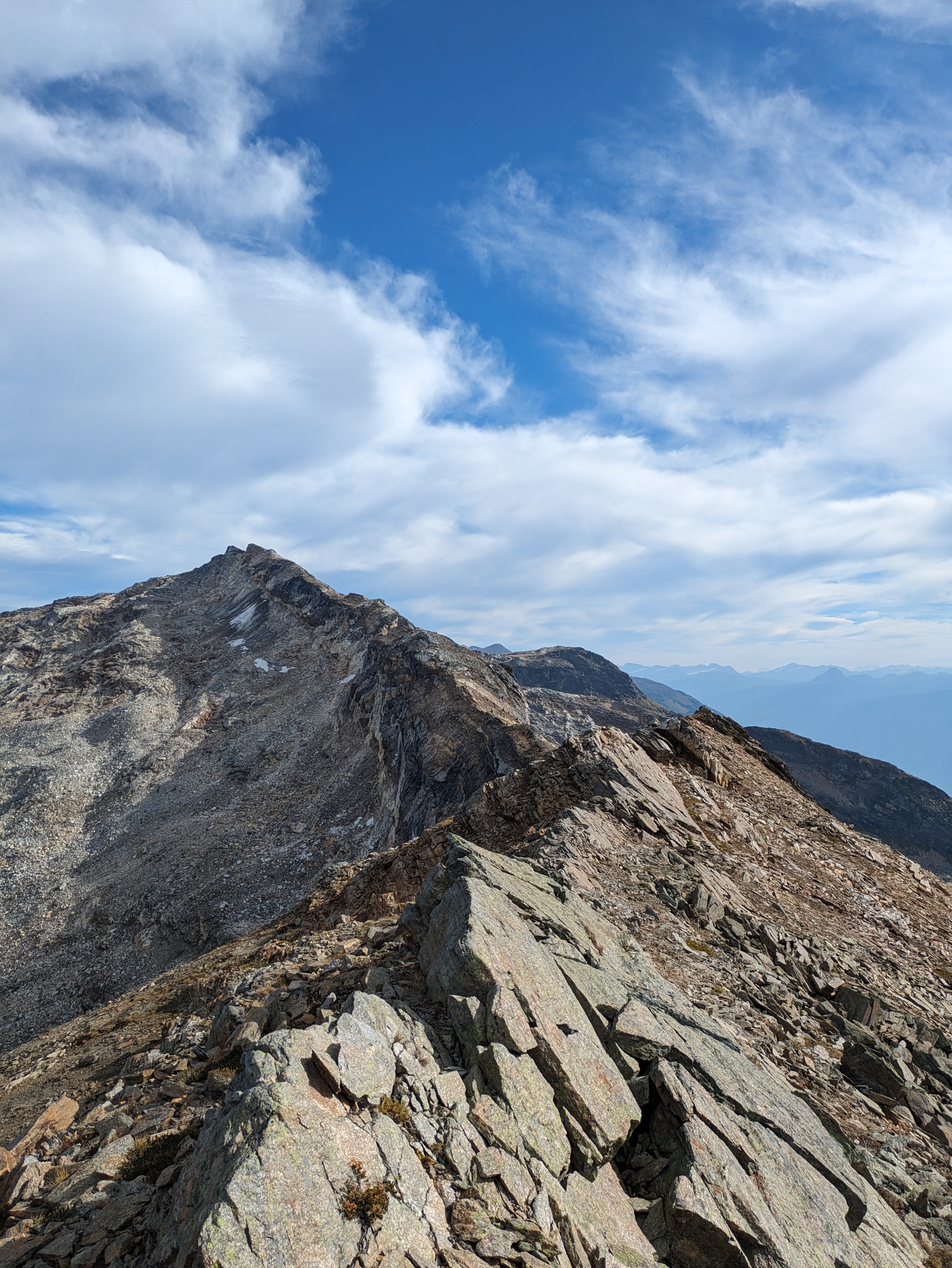
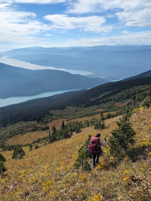
Despite it being a longer route, we found it much more enjoyable to return to Huntley this way instead of across the steep cross country sidehill. Once back at Huntley col, we took a break, then smashed out the descent in a couple hours and soothed our aching knees by jumping into Azure lake.
Return
The next morning, we woke, broke camp, and paddled to the outlet of Azure lake. From there we canoed down a short, fairly simple moving water section of river, with no major hazards except for a few strainers along the right bank.
We spent the rest of the day paddling back to Bar View camp and set up our final camp on the sandy beach, watching the sun set over Clearwater lake. The next morning we paddled out to the put in and returned to civilization.
All in all, we found this trip highly rewarding. The multisport aspect makes for fun variety, Clearwater and Azure lakes are both beautiful to swim in on a hot summer day, and the remoteness and adventure of the climb up to Garnet Peak won't be something I'll soon forget.